
GIS DAY
November 19
This day is about celebrating Geographic Information Systems and spatial thinking.
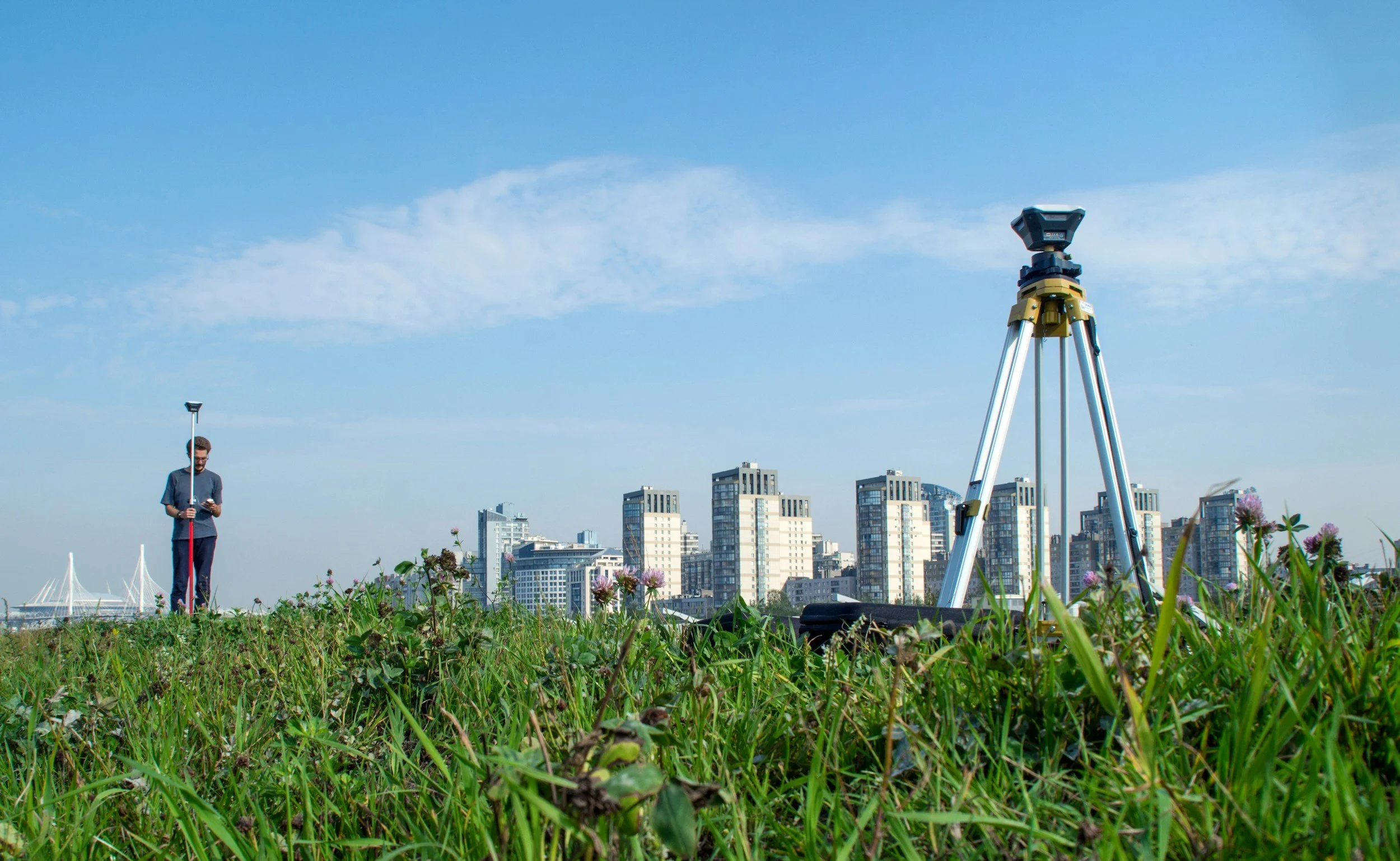
Geographic Information Systems (GIS) are sophisticated systems that help us gather, manage and display information about geographic areas. GIS integrates maps and data to reveal patterns, trends, and relationships in a visually compelling manner. It is employed in urban and regional planning, environmental science, disaster management, transportation, and business, among other areas. For instance, GIS can be used to monitor global warming, route travel, or map at-risk areas in a natural disaster. Through visual representations, GIS can be used to make informed decisions and address challenges.
GIS Day is a special day dedicated to promoting the use of Geographic Information Systems. It typically falls in November, as part of Geography Awareness Week, and is celebrated by schools, businesses and professionals globally. Workshops, presentations and hands-on activities are held to teach people how GIS is applied to benefit people and communities. GIS Day showcases how maps and spatial data can be used to solve problems related to climate change, urban planning, and natural disasters, and to encourage students and communities to learn more about the potential of geography and technology.
WHy GIS Matters
Raises awareness of the value of GIS
Provides workshops and activities for students and communities
Shows how it can be used for disaster response and city planning
Promotes careers in geographic and technological fields
Provides a platform for professionals, teachers and students
Highlights how GIS is being used to address challenges
Increases understanding of international issues such as climate change and resource management
Encourages the use of new technology for decision-making
GIS Day reminds us that maps are more than pictures — they're tools that connect data to decisions, helping communities, scientists, and policymakers find common ground for a healthier planet.
FACTS About GIS
Geographic Information Systems (GIS) is a powerful tool that uses geography, technology, and data analysis to turn data about places into maps and insights
It's widely used by researchers, governments, and businesses around the world to answer questions and make decisions
GIS can identify trends and patterns, which can be used to forecast traffic congestion, climate change, or population growth
GIS is used in many apps such as those for navigation and social media with location-based services
Geographical data is applied in space, environmental management and even animal tracking
You can overlay various data (such as roads, weather, population) on maps to gain more insights
GIS is a vital part of our lives, shaping urban development, health programs, and more
How to Promote This Day
Post awareness-raising articles, maps and short videos on social media to promote Geographic Information Systems and its benefits
Conduct workshops or small events in educational institutions to demonstrate the use and importance of GIS
Design posters, flyers or infographics to explain GIS in a visual manner
Work with local communities or groups to conduct mapping events or campaigns
Promote student and participant engagement by sharing their maps and projects online
HOW CAN I GET INVOLVED?
Volunteer: Join us in our efforts to promote environmental awareness and sustainability in your community. Whether you have a few hours or a few days to spare, your help is invaluable!
Partner with Us: If you're part of a nonprofit, business, or government organization, consider partnering with the Environmental Alliance for collaborative projects or events. Together, we can make a bigger impact!
Stay Informed: Sign up for our newsletter to receive the latest news, events, and ways to participate in our initiatives.
Attend Events: Participate in our upcoming events and awareness days. Check our calendar for dates and details.
Spread the Word: Share our mission with your network. Follow us on social media and help us raise awareness about environmental issues.